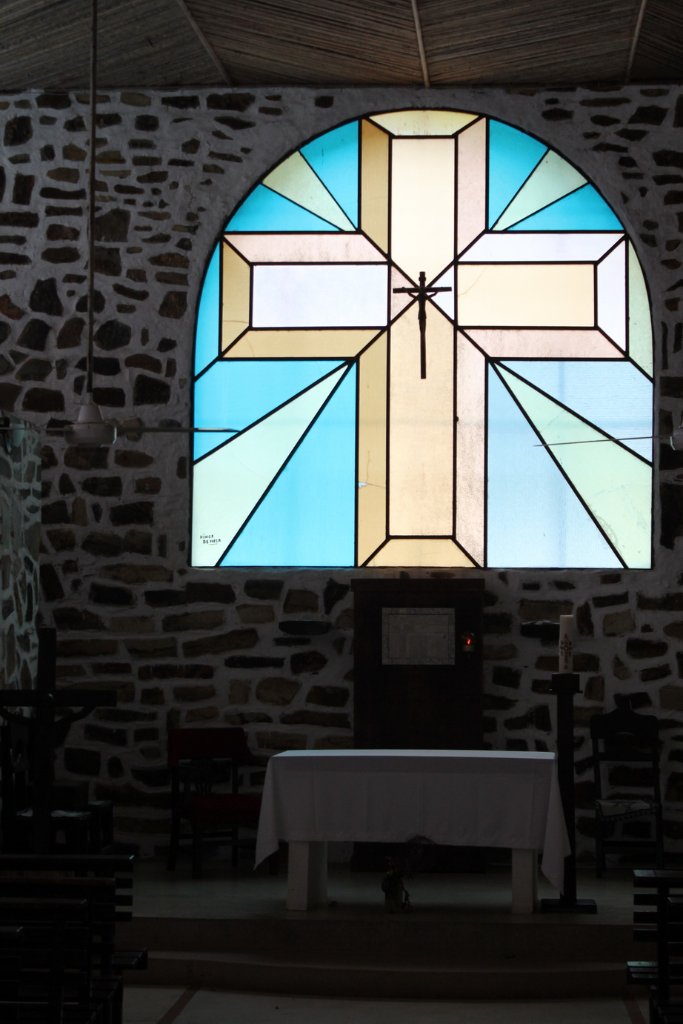
Up Ron & Marjolijn's holiday pictures » 2013-03 Venezuela » 08-Canaima Prev Next Slideshow

 Previous image  Next image  Index page  Original Image [23-Inside the church.jpg - 321kB]
11-Rio Churun from Angel Falls
12-Auyanteepui
13-Flying into the Canon del Diablo
14-Angel Falls with a little bit water
15-Angel Falls
16-Rio Churun from Angel Falls
17-Arriving on Canaima airport
18-Canaima Lagoon
19-Salto Golondrina
20-Canaima Lagoon
21-Welcome in Canaima
22-The church in Canaima
  23-Inside the church.jpg - Inside the church  
24-That's what we did not see, so much water
25-Red macaw, from the house
27-Red macaw
28-Admiring the flowers
29-Canaima lagoon with Salto Golondrina
30-Ron is trying to pick mangos
31-Salto Golondrina
32-Salto Wadaima
33-Salto Hacha
34-The dry salto El Sapo
35-Swimming in the lagoon
36-Big tod

Inside the church Download Original Image
Latitude: N 6°14'25,86" | Longitude: W 62°51'1,56" | Altitude: 401 metres | Location: Curatabaca | State/Province: Estado Bolívar | Country: Venezuela | Copyright: Ron Harkink | See map
Total images: 70 | Help